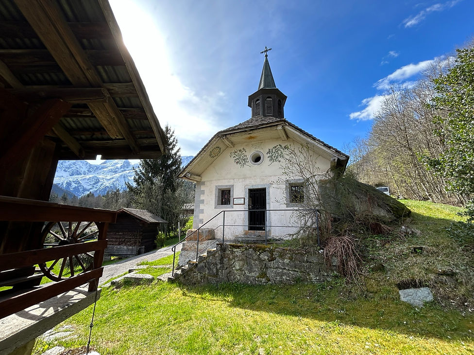
Trails & Points of Interest in this Photo
These are the trails and points of interest on our website that feature the location where this picture was taken:
Length
6.27km
Elevation +
+306m / -306m
Difficulty
Easy
7
Good
Dogs
Dogs Allowed
Children
4+ Years old
When to Go
Mid Apr - Mid Oct
I'm a paragraph. Click here to add your own text and edit me. It's easy. I'm a paragraph. Click here to add your own text and edit me. It's easy. I'm a paragraph. Click here to add your own text and edit me. It's easy.
Length
9.6km
Elevation +
+591m / -591m
Difficulty
Moderate
7
Good
Dogs
Dogs Allowed
Children
7+ Years old
When to Go
Mid Apr - End Oct
I'm a paragraph. Click here to add your own text and edit me. It's easy. I'm a paragraph. Click here to add your own text and edit me. It's easy. I'm a paragraph. Click here to add your own text and edit me. It's easy.


