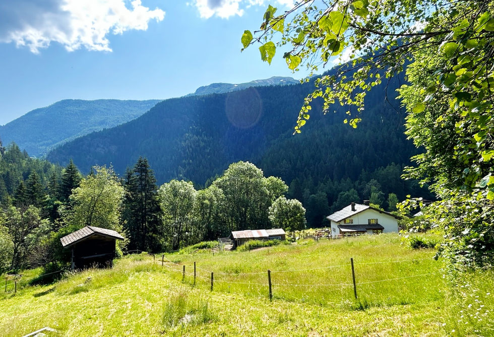
Barberine is a tiny hamlet located on the north-eastern end of the Vallorcine valley right at the border with Switzerland. The Torrent de Barberine is the little river that carries the same name and originates high above Barberine at the Lac Emosson Dam. The Torrent de Barberine has two waterfalls that you can visit, the Grande Cascade de Barberine, roughly 200 vertical meters above the hamlet of Barberine and the Petite Cascade de Barberine, also known as the Cascade du Dard, which lies a few hundred meters north from the hamlet.
Barberine consist of only a handful of buildings but one of those is very special: The Maisson de Barberine. This structure is one of the oldest houses in the valley dating all the way back to 1705. In 1987, an association with 16 founding members was created with the purpose of acquiring the property and turning it into a little museum. You can visit this museum in the months of July and August. It showcases old Vallorcine life through the artifacts that are on display.
The nicest way to reach Barberine is using the historic Chemin des Diligences from Vallorcine. This is a beautiful walk. While in Barberine you should at least cross the Barberine river and have a look a the Petite Cascade de Barberine.
Barberine Photos
Below are all the photos we have in our Chamonix Photos collection for this point of interest. All our photos are tagged with the GPS coordinates and linked to the trails that you can take to find the location where the photo was taken. So if you want to see the full details for a specific photo then just click on it.
Hiking & Running Trails to Barberine
All the trails and points of interest around Chamonix on our website are linked to each other so you can easily pick trails that cover the things you would like to see or visit sights that are nearby and can easily be combined with your target destination. These are the hiking and trail running trails and points of interest linked to Barberine
Length
13.25km
Elevation +
+1022m / -1022m
Difficulty
Moderate
9
Exceptional
Dogs
Dogs Allowed
Children
12+ Years old
When to Go
Start Jun - Start Oct
A beautiful loop in the Montagne de Loriaz and the Montagne de Barberine taking you from Vallorcine to the Refuge de Loriaz and then traversing to the big Lac d'Emosson lake.
Points of Interests near Barberine
Where is Barberine?
Longitude:
6.9415
Latitude:
46.0505
Looking for more Towns and Hamlets?
Barberine is only one of many towns, hamlets and villages around Chamonix. We got many more we would love to show you and many more you should visit! To view all the other towns, hamlets and villages we cover on our website, you can visit our Towns and Hamlets around Chamonix page or view all the villages and towns around Chamonix on our interactive map
Looking for other sights, attractions and points of interest around Chamonix?


