Nearest Town
Chamonix
Altitude
1233m
Capacity
Accommodation
Phone
PhoneNumber
Website
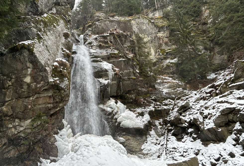
The Cascade du Dard is a nice waterfall located near the Tunnel du Mont Blanc entrance and not too far from the center of Chamonix. The Buvette de la Cascade du Dard is a very nice snack bar located right next to the waterfall that serves salads, omelets and cheese fondue. The waterfall and the snackbar together form a great little destination for the family. Just mind the kids as they are likely to want to go to the base of the waterfall and that area is quite rocky. There is also a sign warning you of potential flash floods.
The water of the Cascard du Dard comes from the Torrent du Dard, a little river which forms high above the waterfall at the foot of the Glacier des Pelerins. From the waterfall the water flows further downstream in a northern direction till it meets the big Arve river near Les Pelerins.
Reaching the waterfall is easy. There is a parking very nearby about half way up to the entrance of the Tunnel du Mont Blanc. This would enable you to visit the snack bar and the waterfall is less than 10 minutes. You can also walk it from the valley floor in which case we suggest the trail that starts at the Grepon Parking near Chamonix Sud in which case the walk there and back will take you between 1 and 1.5 hours.
Cascade du Dard Photos
Below are all the photos we have in our Chamonix Photos collection for this point of interest. All our photos are tagged with the GPS coordinates and linked to the trails that you can take to find the location where the photo was taken. So if you want to see the full details for a specific photo then just click on it.
Hiking & Running Trails to Cascade du Dard
All the trails and points of interest around Chamonix on our website are linked to each other so you can easily pick trails that cover the things you would like to see or visit sights that are nearby and can easily be combined with your target destination. These are the hiking and trail running trails and points of interest linked to Cascade du Dard
Points of Interests near Cascade du Dard
Where is Cascade du Dard?
Longitude:
6.862930682203279
Latitude:
45.90361749296727
Below you will find the location of Cascade du Dard on the map. You can also click the button to show the nearby trails and points of interests that are listed above on the same map. Another option is to visit our interactive map that shows Cascade du Dard and everything else that is listed on our website.
Looking for more Waterfalls?
Cascade du Dard is only one of many waterfalls around Chamonix. We got many more we would love to show you and many more you should visit! To view all the other waterfalls we cover on our website, you can visit our Waterfalls around Chamonix page or view all the waterfalls around Chamonix on our interactive map
Looking for other sights, attractions and points of interest around Chamonix?


