Nearest Town
Vallorcine
Altitude
2526m
Capacity
Mountain Pass
Accommodation
Phone
PhoneNumber
Website
The Col de Salenton is a mountain pass on the border of two major natural reserves. On the west side lies the Aiguilles Rouges natural reserve and on the east side lies the Vallon de Berard natural reserve. This is fairly remote location in the valley north from Chamonix.
The Col de Salenton lies above the Refuge de la Pierre a Berard. It is also on the crossroads to many popular trails. The first being the long trail from Vallorcine to Servoz which cuts right across both natural reserves. The second popular trail is the trail to the summit of Mont Buet. This trail technically does not pass by the Col de Salenton but it is very nearby and there are alternatives you can do that would see you use the Col de Salenton as part of a longer trail to or from Servoz or the Refuge Moede Anterne.
Col de Salenton Photos
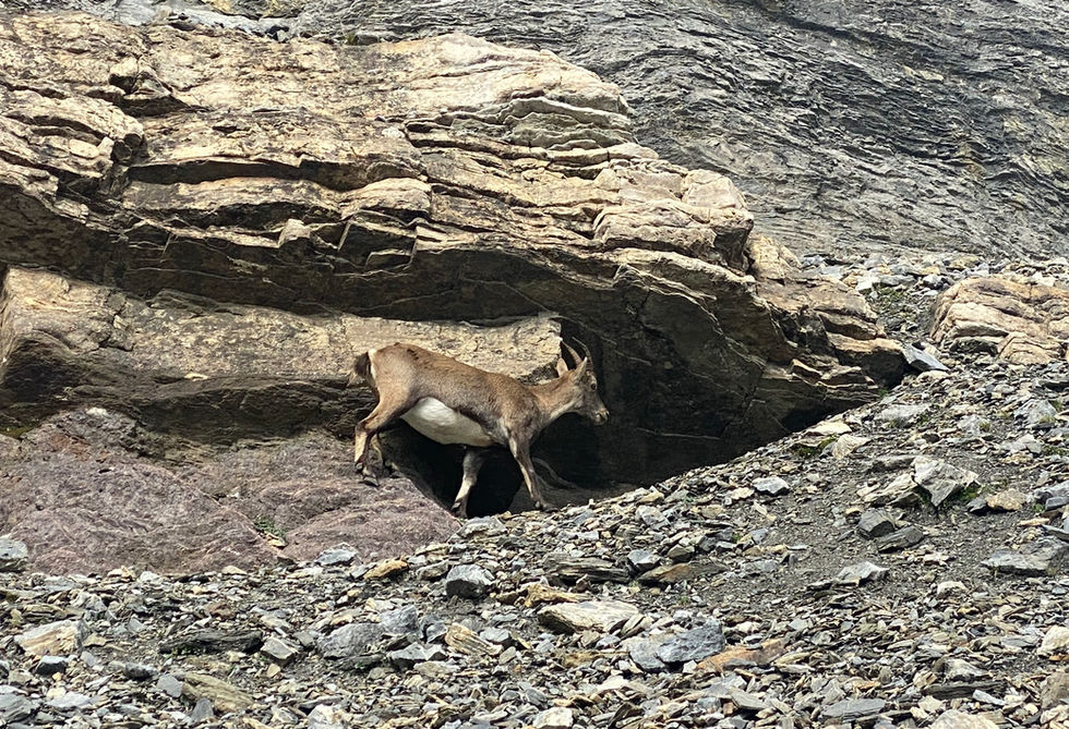
Below are all the photos we have in our Chamonix Photos collection for this point of interest. All our photos are tagged with the GPS coordinates and linked to the trails that you can take to find the location where the photo was taken. So if you want to see the full details for a specific photo then just click on it.
Hiking & Running Trails to Col de Salenton
All the trails and points of interest around Chamonix on our website are linked to each other so you can easily pick trails that cover the things you would like to see or visit sights that are nearby and can easily be combined with your target destination. These are the hiking and trail running trails and points of interest linked to Col de Salenton
Length
25.66km
Elevation +
+1489m / -2067m
Difficulty
Moderate
9
Exceptional
Dogs
No Dogs
Children
15+ Years old
When to Go
End Jun - Start Oct
An amazing route that takes you deep into the nature reserve of Passy and the Vallon de Berard. There are no towns or paved roads in these valleys so its a pure natural experience.
Points of Interests near Col de Salenton
Where is Col de Salenton?
Longitude:
6.85532
Latitude:
46.00723
Below you will find the location of Col de Salenton on the map. You can also click the button to show the nearby trails and points of interests that are listed above on the same map. Another option is to visit our interactive map that shows Col de Salenton and everything else that is listed on our website.
Looking for more Summits and Mountain Passes?
Col de Salenton is only one of many summits and mountain passes around Chamonix. We got many more we would love to show you and many more you should visit! To view all the other summits and mountain passes we cover on our website, you can visit our Summits and Mountain Passes around Chamonix page or view all the summits and mountain passes around Chamonix on our interactive map
Looking for other sights, attractions and points of interest around Chamonix?


