Nearest Town
Les Contamines
Altitude
1187m
Capacity
Oratory
Accommodation
Phone
PhoneNumber
Website
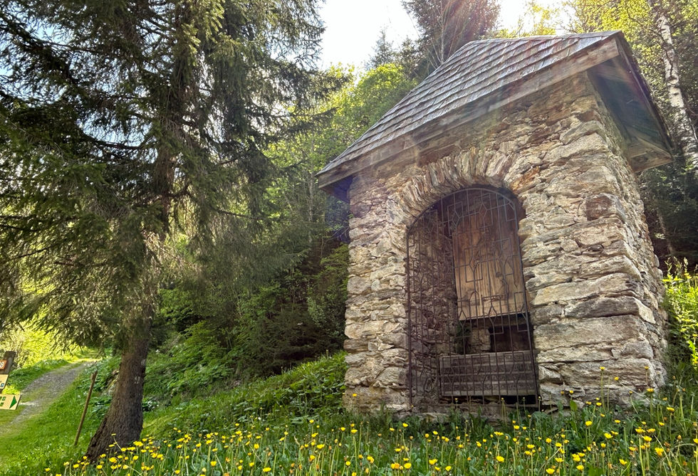
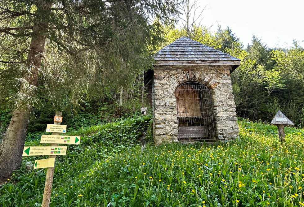
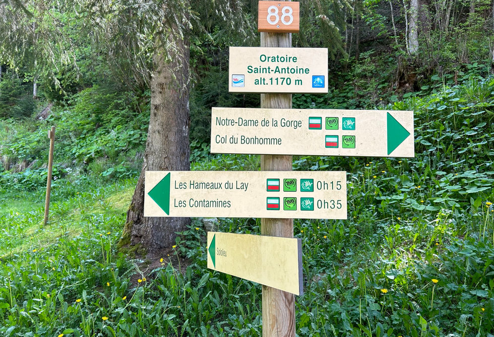
The Oratoire St Antoine is a beautiful, larger oratory located along the Chemin du Praz on the eastern edge of the Pontent Leisure Park, roughly 600 meters north from the amazing Notre Dame de la Gorge at the southern end of the Montjoie Valley.
The oratory was fully restored in 1982 by local inhabitants. Inside the oratory you will find a wooden panel of Saint Anthony of the Desert, patron saint of guides and protector of animals. The inscription reads: "Go with the protection of God and may Saint Anthony and Saint Bernard keep you from danger and have you come back as healthy as when you left".
Oratoire St Antoine Photos
Below are all the photos we have in our Chamonix Photos collection for this point of interest. All our photos are tagged with the GPS coordinates and linked to the trails that you can take to find the location where the photo was taken. So if you want to see the full details for a specific photo then just click on it.
Hiking & Running Trails to Oratoire St Antoine
All the trails and points of interest around Chamonix on our website are linked to each other so you can easily pick trails that cover the things you would like to see or visit sights that are nearby and can easily be combined with your target destination. These are the hiking and trail running trails and points of interest linked to Oratoire St Antoine
Length
8.9km
Elevation +
+493m / -493m
Difficulty
Moderate
9
Exceptional
Dogs
Dogs Allowed
Children
7+ Years old
When to Go
Start May - Mid Oct
Absolutely beautiful trail with a gorgeous church and a couple of really nice waterfalls in beautiful forests and open fields. Great variety in absolutely amazing scenery.
Points of Interests near Oratoire St Antoine
Where is Oratoire St Antoine?
Longitude:
6.7241
Latitude:
45.8
Below you will find the location of Oratoire St Antoine on the map. You can also click the button to show the nearby trails and points of interests that are listed above on the same map. Another option is to visit our interactive map that shows Oratoire St Antoine and everything else that is listed on our website.
Looking for more Oratories and Crosses?
Oratoire St Antoine is only one of many oratories and crosses around Chamonix. We got many more we would love to show you and many more you should visit! To view all the other oratories and crosses we cover on our website, you can visit our Oratories and Crosses around Chamonix page or view all the oratories and crosses around Chamonix on our interactive map
Looking for other sights, attractions and points of interest around Chamonix?


