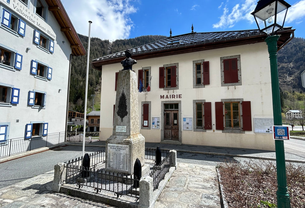
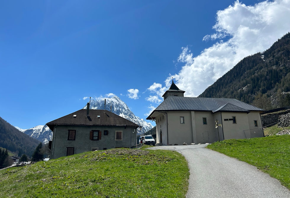
Vallorcine lies on the north-eastern end of the Chamonix Valley. It is lies on the western side of the Aiguillette des Posettes with the hamlet of Le Tour on the eastern side of that same mountain. Vallorcine is generally a lot quieter than the towns and hamlets in the Chamonix Valley. The construction of the ski lift connecting the town to the Le Tour-Balme ski area in 2004 has definitely boosted the tourism industry in Vallorcine and the town now has a small commercial center with a bakery and epicerie selling local specialties. There also a couple of large tourism complexes built around the lift station. Vallorcine has its own tourist office located at the corner of the Route de l'Eglise. This road takes you to the Eglise Notre-Dame de l'Assomption, the recently renovated main church of Vallorcine.
Vallorcine has a fantastic location for exploring some of the very best that the Chamonix Valley has to offer. One of the best waterfalls, the Cascade de Berard, is located near Le Buet and an easy, family-friendly trail enables you to go there for a quick visit. There is a snack bar right at the top of the waterfall. Not to be missed! Some of the bigger routes include the ascend of the highest peak outside of the Mont Blanc Massif, Mont Buet. We have a wonderful trail that takes you there via the Refuge de Loriaz and its our preferred route. You can also go across the entire valley of Berard and take the long trail all the way to Servoz via de Col de Salenton. This is also definitely one of our most spectacular trails. We can also highly recommend the trail that goes from Loriaz to Lac Emosson. Lastly, Vallorcine is super close to the Swiss border at Le Chaterlard which enables easy access to Finhaut, Trient and the many mountain ranges and points of interests on the Swiss side.
Vallorcine is the end station of the mountain train that starts at Saint-Gervais-les-Bains and passes through the entire Chamonix Valley stopping at nearly every town and hamlet on the way. You can continue on to Martigny by taking the swiss trains. The nearby hamlet of Le Buet, which is part of Vallorcine, has its own train station. There is also a bus line with multiple stops around Vallorcine.
Vallorcine Photos
Below are all the photos we have in our Chamonix Photos collection for this point of interest. All our photos are tagged with the GPS coordinates and linked to the trails that you can take to find the location where the photo was taken. So if you want to see the full details for a specific photo then just click on it.
Hiking & Running Trails to Vallorcine
All the trails and points of interest around Chamonix on our website are linked to each other so you can easily pick trails that cover the things you would like to see or visit sights that are nearby and can easily be combined with your target destination. These are the hiking and trail running trails and points of interest linked to Vallorcine
Length
13.25km
Elevation +
+1022m / -1022m
Difficulty
Moderate
9
Exceptional
Dogs
Dogs Allowed
Children
12+ Years old
When to Go
Start Jun - Start Oct
A beautiful loop in the Montagne de Loriaz and the Montagne de Barberine taking you from Vallorcine to the Refuge de Loriaz and then traversing to the big Lac d'Emosson lake.
Points of Interests near Vallorcine
Where is Vallorcine?
Longitude:
6.932
Latitude:
46.0334
Looking for more Towns and Hamlets?
Vallorcine is only one of many towns, hamlets and villages around Chamonix. We got many more we would love to show you and many more you should visit! To view all the other towns, hamlets and villages we cover on our website, you can visit our Towns and Hamlets around Chamonix page or view all the villages and towns around Chamonix on our interactive map
Looking for other sights, attractions and points of interest around Chamonix?


