Petit Balcon Sud - Argentiere to Chamonix
Our Rating
4
Below Average
Watch the Full Video on

Length
8.83km

Elevation + / -
201m / 415m

Altitude Range
1043m / 1281m

When to go
Start Apr - Mid Nov
Hike duration
2.0 - 3.0 Hours

Run duration
1.0 - 1.5 Hours

Technical level
Very Easy

Natural beauty
Nice

Families
7+ Years old

Dogs
Dogs Allowed

Provision Sources
Only in main towns

Trail type
Point to point
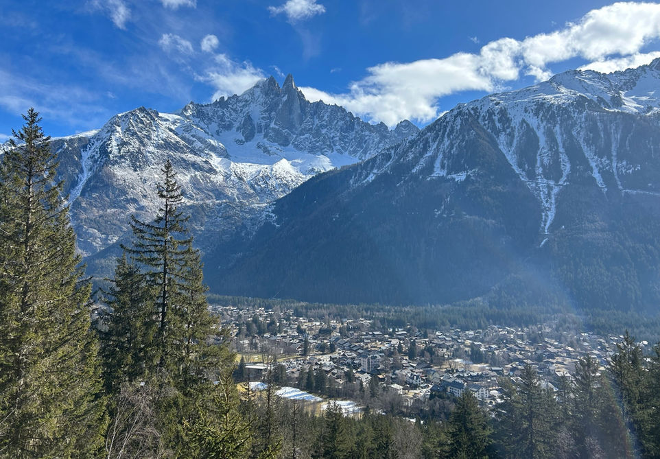
This route stays very close to the valley floor and takes you from Argentiere to Chamonix via the Petite Balcon Sud (PBS). The petite balcons, which run on both sides of the valley, are a very popular route for those who want to stay close to the valley floor yet be in a very natural surrounding. The trail takes you mostly through forested areas with the occasional opening that gives a nice view of the valley and the mountains across the valley. The petite balcons are also an excellent way of exploring the many towns and hamlets in the Chamonix valley. In the case of the petite balcon sud the trail passes by the hamlet of La Joux and Les Tines and a small de tour would allow a visit to Les Praz. It is also very easy to combine the petite balcons nord and sud to make a loop walk exploring both sides of the valley. Between the two petite balcons I feel that the Petit Balcon Nord has more offer in terms of scenery and diversity. The petite balcon sud is still definitely worthwhile though.
Video of this Trail
We have made a video presentation for this trail. The video will provide full 3D fly over of the route and then give a great overview of the experience you can expect when you take on this trail. It is a great way to quickly understand if this is the perfect trail for you. Please visit our channel on YouTube and like the video and subscribe to our channel. Putting together these videos is a lot of work!
Photos of this Trail
Below are all the photos we have in our Chamonix Photos collection for this point of interest. All our photos are tagged with the GPS coordinates and linked to the trails that you can take to find the location where the photo was taken. So if you want to see the full details for a specific photo then just click on it.
Trail Directions & Safety Considerations

Risk Considerations & Difficulty Assessment
This route reaches a maximum altitude of 1281m and should be generall snow free from April to November. Even with snow cover these trails will still be frequently used. Check the conditions ahead of time if you want to be sure. The Petite Balcon Sud is very well marked and the trail markers along the way will have a rectangular sign mounted on top indicating that you are on the Petite Balcon Sud. The trails itself is very easy with a few occasional steeper spots between La Joux and Les Tines opposite from Le Lavancher.

Children
7+ Years old

Dogs
We recommend to keep your dog on a leash

Trail Directions
From the Argentiere Trainstation you need to cross the main road and enter the Chemin de la Corne a Bouc. This turns into a trail and the start of the petite balcon sud. From there on its just a matter of following the Petite Balcon Sud signs all the way in the same direction until you reach Chamonix. You will go down to the river level at the valley floor at Les Tines. Just pay attention that you will need to take a small fairly steep trail on your right side to go back up above the valley floor to where a new section of the PBS will start. Even if you do miss this junction, there will be many other entry points to get back onto the PBS.
Points of Interest
Our hiking and trail running trails around Chamonix are chosen for their natural beauty and variety. We also always try to combine as many sights, attractions and points of interests as possible in our trails. Below you will find a list of the points of interests linked to this trail.


