Chamonix to the Cascade du Dard
Our Rating
6
Above Average
Watch the Full Video on

Length
3.38km

Elevation + / -
284m / 284m

Altitude Range
1038m / 1233m

When to go
Mid Apr - End Oct
Hike duration
1.0 - 1.5 Hours

Run duration
30 - 45 Mins

Technical level
Easy

Natural beauty
Nice

Families
4+ Years old

Dogs
Dogs Allowed

Provision Sources
1 Snack Bar

Trail type
Out and Back
This route starts near Chamonix Center at the Grepon Parking lot. From there its a pleasant 1.2 kilometer walk to the Cascade du Dard. The trail to the waterfall is not too steep and should be easy to achieve with children. Dogs are welcome too. The waterfall itself has a very nice setting with a viewing bridge right in front of it. The pool at the bottom of the waterfall can be reached from a little path on the right side of the bridge but there is a sign warning against flash flooding. On the side of the waterfall is the Buvette de la Cascade du Dard, a snack bar serving salads, pancakes, omelets and cheese fondue. All in all this little route is a fantastic little outing from Chamonix and fun for the whole family.
Video of this Trail
We have made a video presentation for this trail. The video will provide full 3D fly over of the route and then give a great overview of the experience you can expect when you take on this trail. It is a great way to quickly understand if this is the perfect trail for you. Please visit our channel on YouTube and like the video and subscribe to our channel. Putting together these videos is a lot of work!
Photos of this Trail
Below are all the photos we have in our Chamonix Photos collection for this point of interest. All our photos are tagged with the GPS coordinates and linked to the trails that you can take to find the location where the photo was taken. So if you want to see the full details for a specific photo then just click on it.
Trail Directions & Safety Considerations

Risk Considerations & Difficulty Assessment
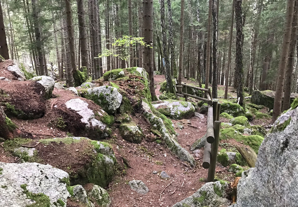
This route reaches an altitude of 1233m at the Cascade du Dard. The trail should be accessible from mid April to the end of October depending on how early and late the snow starts and ends. Navigation is easy with clear signs from the starting point to the waterfall and back. It's also a very short walk so turning back should not be a problem. Lastly, the trails are typical for the forest trails going up the first few hundreds of meters into the mountains on either side of the valley. There will be some rocks and some tree roots but nothing too crazy.

Children
4+ Years old

Dogs
We recommend to keep your dog on a leash

Trail Directions
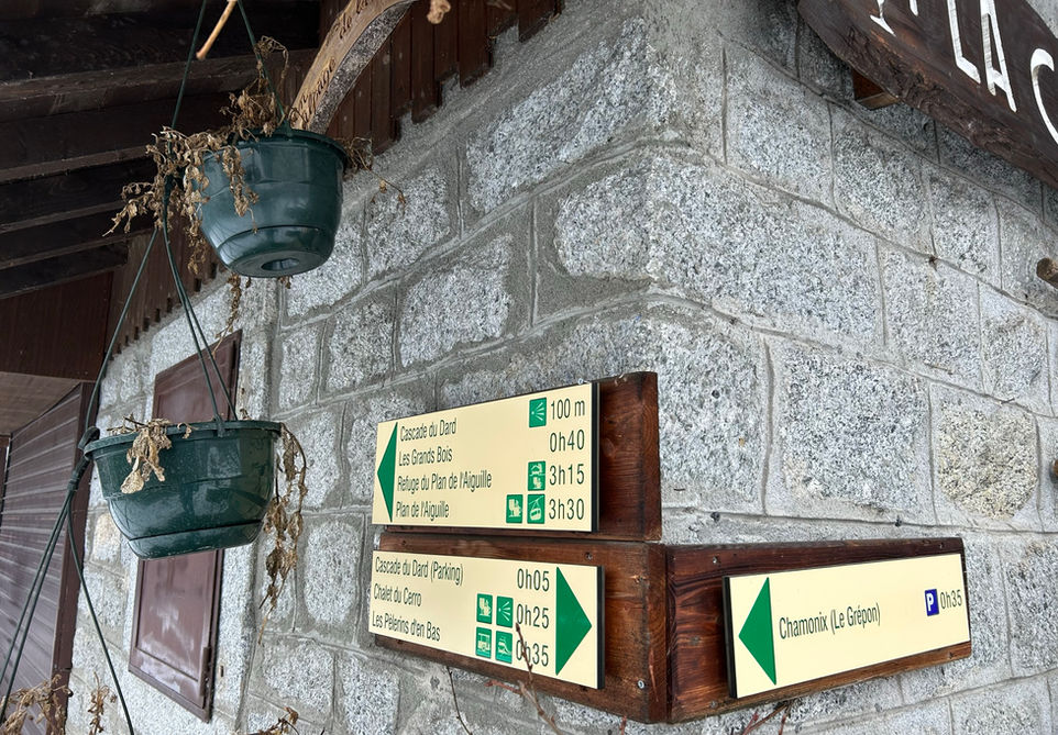
From the Grepon Parking look for the signs next to the round about in front of the parking. There you will see the sign for Cascade Dard. The route the trail marker is suggesting will take you along the highway before you turn left into the forest. This is probably the fastest way and requires the least vertical gain. The route we are suggesting takes you up the new path that runs uphill parallel to the highway. This will add a bit of an extra climb as you will go up a bit and then down a bit before connecting with the path to Cascade du Dard. The adventage is that you will not be walking next to the highway. On the way back you will pass by the waterfall and cross the bridge and take the path on your left hand side which will then quickly meet up with the trail you used on the way up.
Points of Interest
Our hiking and trail running trails around Chamonix are chosen for their natural beauty and variety. We also always try to combine as many sights, attractions and points of interests as possible in our trails. Below you will find a list of the points of interests linked to this trail.


