Loriaz to Mont Buet via Cheval Blanc
Our Rating
10
The Best

Watch the Full Video on

Length
23.31km

Elevation + / -
2048m / 2048m

Altitude Range
1342m / 3096m

When to go
Mid Jul - End Sep
Hike duration
8.0 - 13.7 Hours

Run duration
5.0 - 8.0 Hours

Technical level
Very Difficult

Natural beauty
Incredible

Families
15+ Years old

Dogs
No Dogs

Provision Sources
2 Refuges

Trail type
Loop
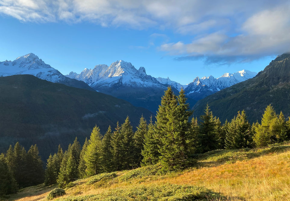
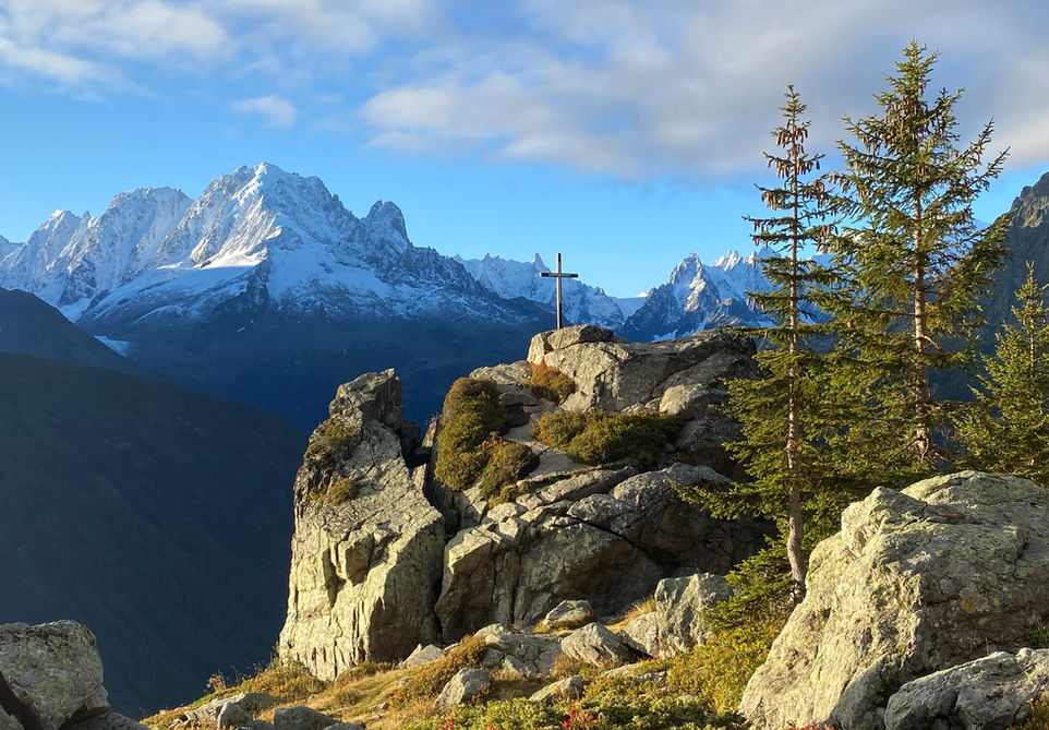
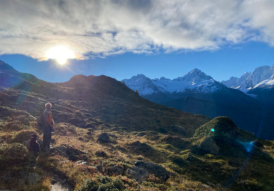
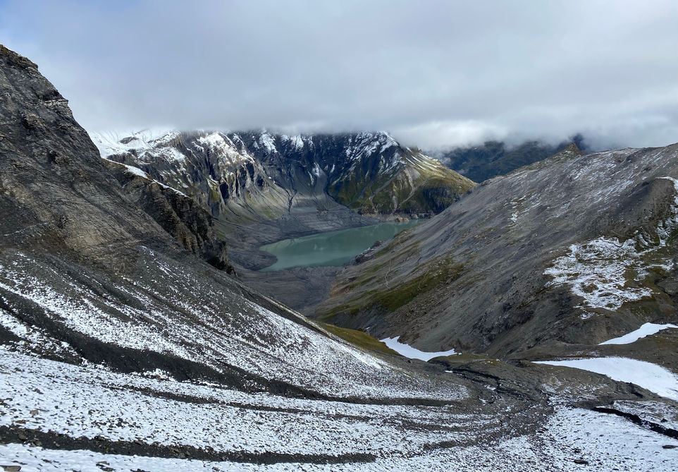
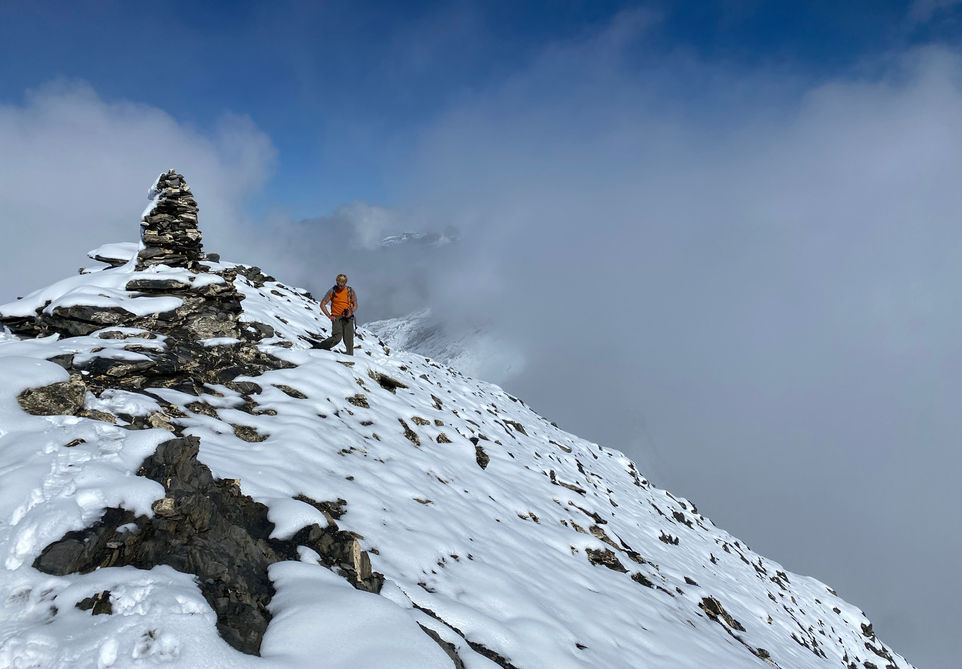
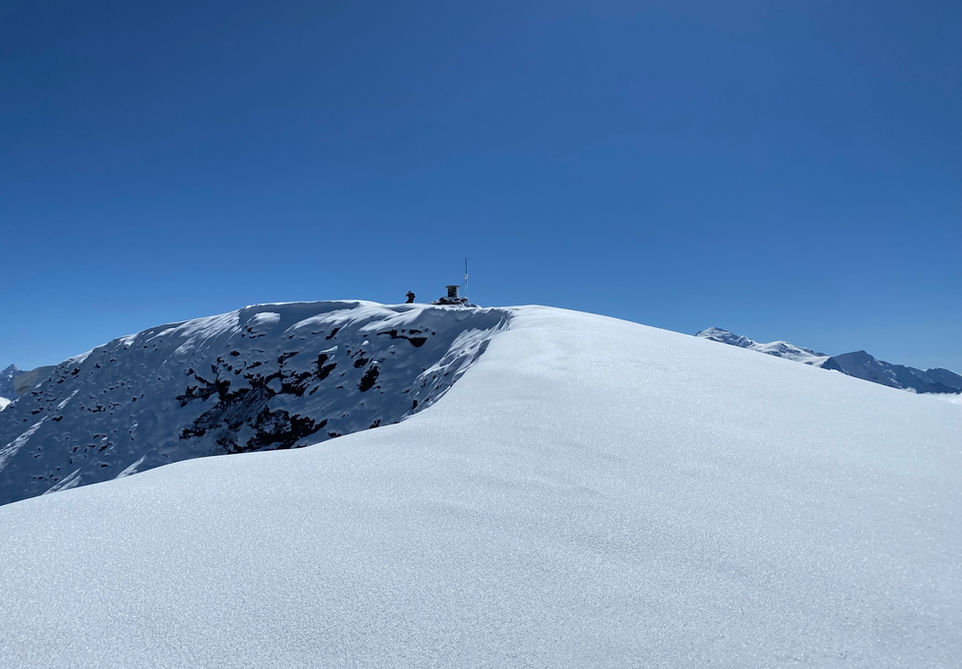
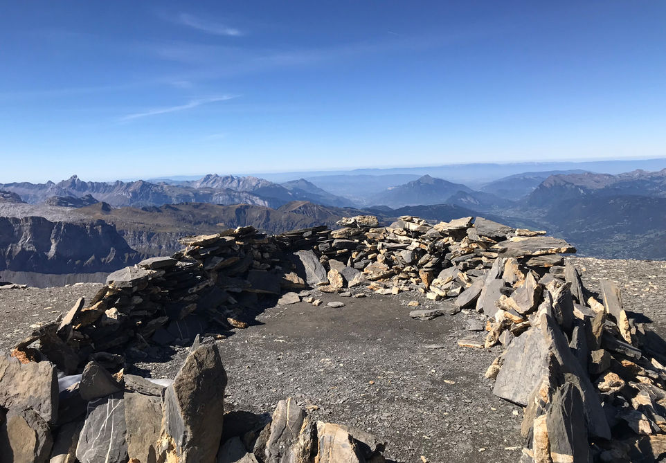
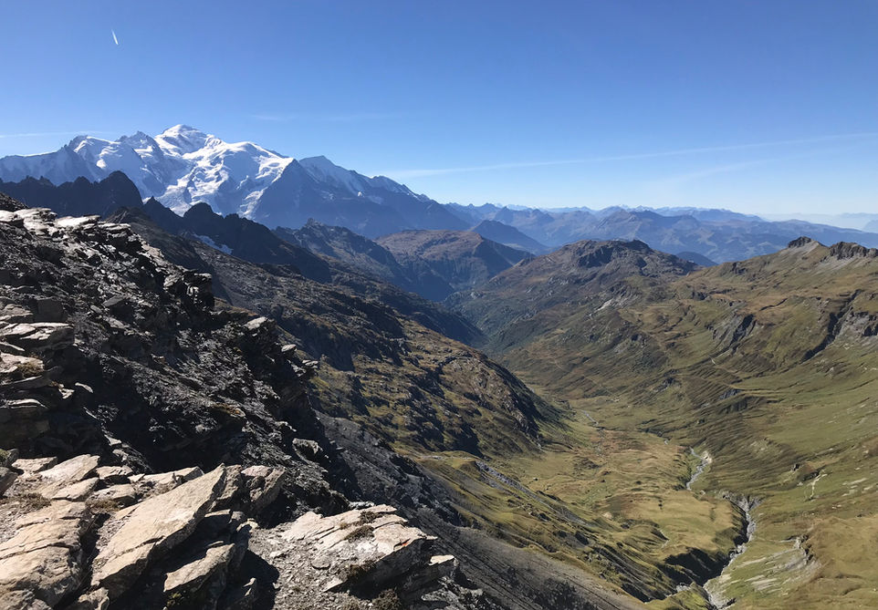
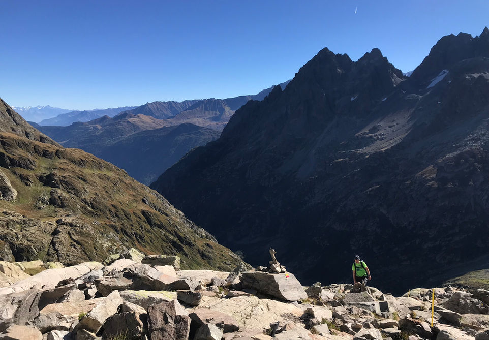
This route makes for a spectacular day hike or long run. It is a challenging route both in length, elevation and terrain but it is more than worth the effort as you summit Mont Buet at an altitude of 3096 meters (10,157 feet). On the way you will pass the Montagne de Loriaz and the Refuge the Loriaz. This is a beautiful place with wide alpine pastures and great views of the Aiguilette des Posettes. The climb up to the Col de la Terrasse is steep and the terrain gets increasingly barren and rocky. The climb up to the summit of Le Buet via the Cheval Blanc has some difficult parts with permanent ropes installed to help you keep your footing. The summit of Le Buet is absolutely spectacular and often compared to the surface of the moon. You will have 360 degrees views including a fantastic view of Mont Blanc. The descend towards the Col de Salenton has wonderful views into the valley towards les Chalets de Villy. The descend towards the Refuge de la Pierre a Berard is steep and with big rocks. The walk from the Refuge de Berard back to the start of the trail is wonderful and easy. The Refuge de Loriaz and the Refuge de Berard provide excellent options for a rest and some food and drink. A celebratory beer at the Buvette du Cascade de Berard at the very end of your trail is mandatory.
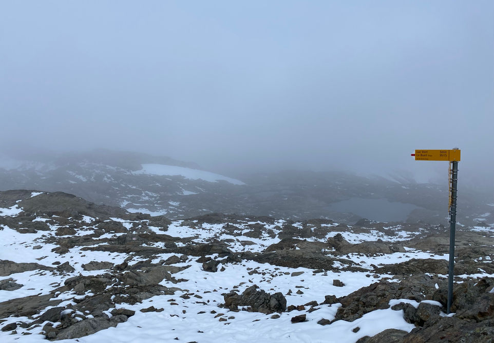
We have an alternative route to this approach of Mont Buet which follows the Tre-les-Eaux valley and connects with this trail at the Col des Corbeux. The rest of the trail remains the same. Both trails are equally spectacular and both the climb up to Loriaz as the climb up through the Tre-les-Eaux are equally beautiful in our opinion. The added benefit of this version are the views from Col de la Terrasse and the visit to Lac Vert. We did this trail too late in the 2022 season and there was considerable snow cover. In 2023 we did the Mont Buet northern approach loop via Tre-les-Eaux in perfect conditions.
Video of this Trail
We have made a video presentation for this trail. The video will provide full 3D fly over of the route and then give a great overview of the experience you can expect when you take on this trail. It is a great way to quickly understand if this is the perfect trail for you. Please visit our channel on YouTube and like the video and subscribe to our channel. Putting together these videos is a lot of work!
Photos of this Trail
Below are all the photos we have in our Chamonix Photos collection for this point of interest. All our photos are tagged with the GPS coordinates and linked to the trails that you can take to find the location where the photo was taken. So if you want to see the full details for a specific photo then just click on it.
Trail Directions & Safety Considerations

Risk Considerations & Difficulty Assessment
This route reaches an altitude of 3096 meters and the best time to go is roughly from the middle of July to the end of September. This route should not be undertaken with snow cover and you definitely need to check the conditions ahead of time. The trail is not hard to navigate but you do need to check your position frequently and I would not undertake this one without GPS.
The trail itself is pretty technical in between the Cheval Blanc and Mont Buet with some very steep parts where fixed ropes are installed to help you keep your footing. There are also big drops and if you are afraid of heights then you will not enjoy these sections. The descend to Refuge de Berard is steep and with big rocks in certain locations.

Children
15+ Years old

Dogs
Natural Reserve. Dogs not allowed

Trail Directions
From the Le Buet parking or train station follow the main road towards Vallorcine and cross the bridge. Take the first left upto Le Couteray and Le Lay. From there the paved road will end and the trails up to Loriaz will start. From the Refuge de Loriaz there is a trail marker and you will want to follow the trail towards the Col de la Terrasse. From the Col you can see your next destination Le Cheval Blanc and you will see the crest that you will be following to lead you to the summit of Mont Buet. From the Cheval Blanc you will be following the crest until you reach the summit of Mont Buet. The way down to Col de Salenton is well marked. You will not need to go to the actual Col. There will be a trail marked indicating the Refuge de Berard and that will be your next destination. The walk from Refuge de Berard to the Le Buet train station starting point is easy to follow and well marked.
Points of Interest
Our hiking and trail running trails around Chamonix are chosen for their natural beauty and variety. We also always try to combine as many sights, attractions and points of interests as possible in our trails. Below you will find a list of the points of interests linked to this trail.

