Plaine Joux to Lac Vert
Our Rating
7
Good
Watch the Full Video on

Length
3.45km

Elevation + / -
85m / 85m

Altitude Range
1270m / 1355m

When to go
End Apr - End Oct
Hike duration
1.0 - 2.0 Hours

Run duration
40 - 60 Mins

Technical level
Easy

Natural beauty
Very Nice

Families
All ages

Dogs
Dogs Allowed

Provision Sources
3 Restaurants

Trail type
Out and Back
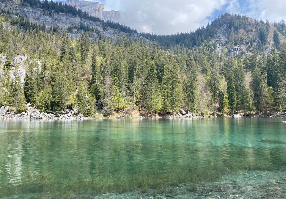
This is a short trail which will take you from Plaine Joux to the very beautiful and popular Lac Vert. Plaine Joux is an outdoor activity hub located above Servoz which provides the starting point for a number of popular hikes and has a number of restaurants and a paraglide take-off area. It is a very popular destination during summer and worth a visit. This trail will take you from Plaine Joux to Lac Vert. One of the larger and prettier lakes in the vicinity of Chamonix. There is a trail near the edge of the lake that you can take to walk around the lake. There is also a snack bar near Lac Vert where you can enjoy a snack and a drink. Overall a nice, short and very family friendly trail.
Video of this Trail
We have made a video presentation for this trail. The video will provide full 3D fly over of the route and then give a great overview of the experience you can expect when you take on this trail. It is a great way to quickly understand if this is the perfect trail for you. Please visit our channel on YouTube and like the video and subscribe to our channel. Putting together these videos is a lot of work!
Photos of this Trail
Below are all the photos we have in our Chamonix Photos collection for this point of interest. All our photos are tagged with the GPS coordinates and linked to the trails that you can take to find the location where the photo was taken. So if you want to see the full details for a specific photo then just click on it.
Trail Directions & Safety Considerations

Risk Considerations & Difficulty Assessment
Plaine Joux lies at an altitude of 1350m. In winter it serves as a small ski area. The best time to do this trail would be from the end of April to October when there will be no snow or very little snow cover. The trail around the lake should only be done when there is no snow cover or it could potentially be dangerous. Lac Vert is clearly marked from the Plaine Joux parking and the trail is very easy to follow. There is also a paved road for cars between Plaine Joux and Lac Vert so you could even opt to just follow that. The trail itself is very easy. The loop around the lake has some rocks and bigger steps but could be skipped if you come across any parts that you are less comfortable with.

Children
All ages

Dogs
We recommend to keep your dog on a leash

Trail Directions
From Plaine Joux you will immediately see the trail markers for Lac Vert and there is a paved road for cars going to the lake too. You cannot miss it.
Points of Interest
Our hiking and trail running trails around Chamonix are chosen for their natural beauty and variety. We also always try to combine as many sights, attractions and points of interests as possible in our trails. Below you will find a list of the points of interests linked to this trail.


