Length
10.92km

Elevation + / -
886m / 886m

Altitude Range
968m / 1837m

When to go
Start Jun - Mid Oct
Hike duration
3.0 - 5.0 Hours

Run duration
1.5 - 2.5 Hours

Technical level
Moderate

Natural beauty
Very Nice

Families
9+ Years old

Dogs
Dogs Allowed

Provision Sources
3 Refuges

Trail type
Loop
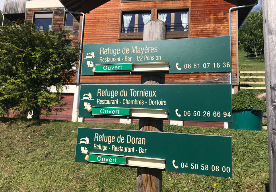
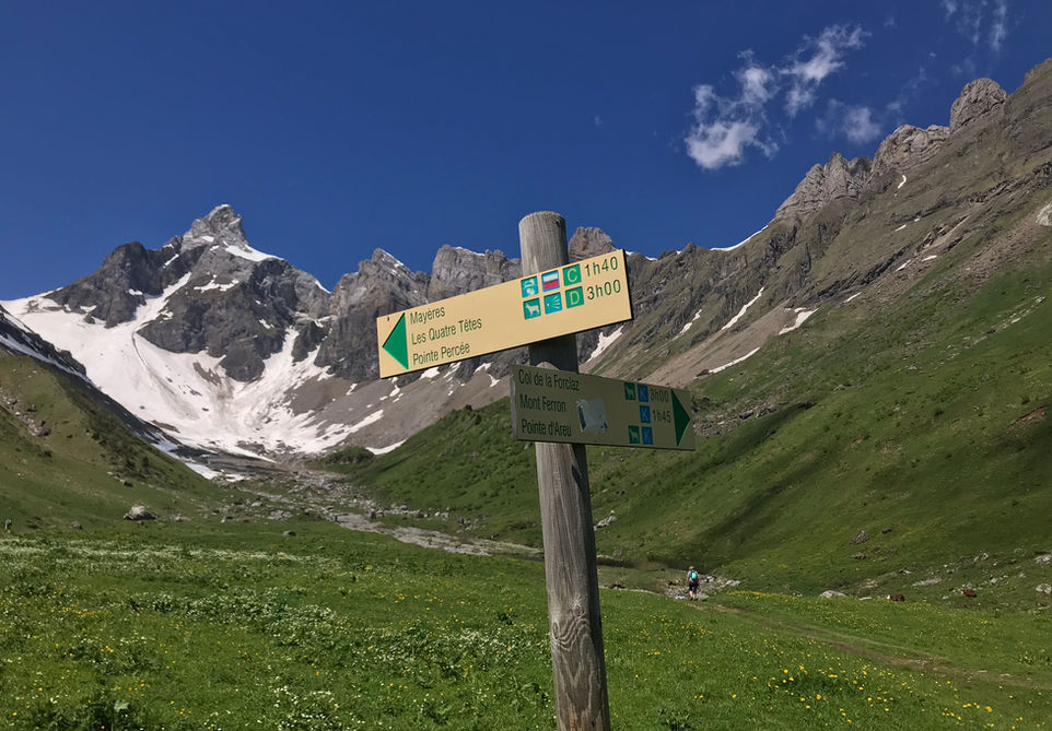
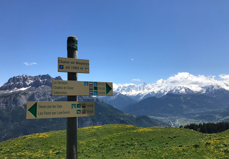
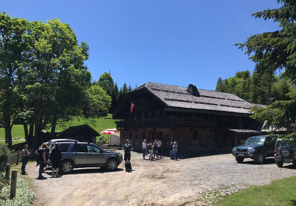
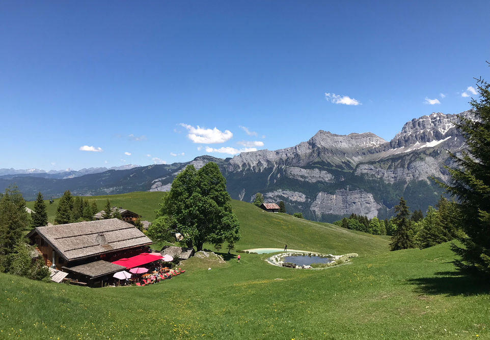
This wonderful loop trail explores the valley at the foot of the Chaine des Aravis and the Arete des Saix. There are two popular refuges that you will visit along the way: the Refuge de Doran and the Refuge du Tornieux. Both great refuges that offer both accommodation and nice meals.
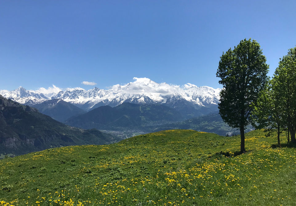
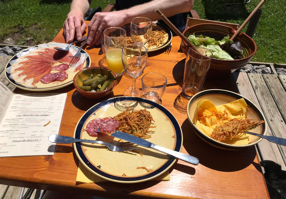
The easiest way to access the trail is to park your car at Burzier above Sallanches. From there you walk up to the Refuge de Doran which is located in a beautiful pastural valley at the foot of the Chaine des Aravis. From there you climb up to the Arete des Saix which will provide a nice view over the Sallanches valley to the Mont Blanc. You then descend into the valley below and visit the Refuge de Tornieux. In my opinion its definitley worth having a meal here and either trying their signature cheese fondue or their deep fried potato specialty "bougnettes du Tornieux". After your visit to the refuge you go back to your starting point at Burzier.
Video of this Trail
We have made a video presentation for this trail. The video will provide full 3D fly over of the route and then give a great overview of the experience you can expect when you take on this trail. It is a great way to quickly understand if this is the perfect trail for you. Please visit our channel on YouTube and like the video and subscribe to our channel. Putting together these videos is a lot of work!
Photos of this Trail
Below are all the photos we have in our Chamonix Photos collection for this point of interest. All our photos are tagged with the GPS coordinates and linked to the trails that you can take to find the location where the photo was taken. So if you want to see the full details for a specific photo then just click on it.
Trail Directions & Safety Considerations

Risk Considerations & Difficulty Assessment
This trail reaches a height of 1837m at the Arete des Saix. You can expect the trail to be mostly snow free from early June to the middle of October but you need to check conditions ahead of time. If you are planning to stay or eat at either Refuge de Doran or Refuge du Tornieux then you need to check their websites and perhaps call to make sure they are open. Navigating this trail is not difficult and all major waypoints are well marked. The major waypoints are Refuge de Doran, Mayeres, Refuge du Tornieux and Burzier. The trails themselves are of moderate difficulty with some steeper sections as you ascend and descend from the Arete des Saix. Many parts of the trail are 4x4 tracks and are very easy.

Children
9+ Years old

Dogs
We recommend to keep your dog on a leash

Trail Starting Point
The trail starts at the Burzier Parking above Sallanches. In theory you can park further down the road at Les Planes but I think a 4x4 jeep would be needed for this. I am not sure about public transport options for reaching this or any other practical starting point.

Trail Directions
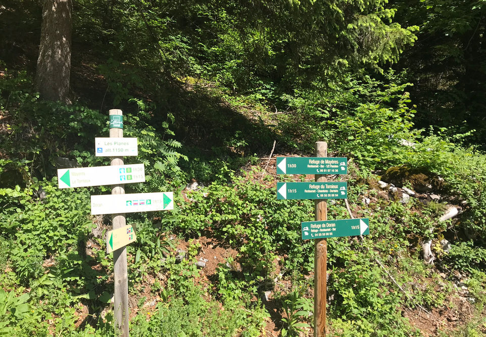
From the Burzier Parking follow the signs for Doran and keep following the signs till you reach the Refuge de Doran. You cannot miss this. At one point you will have a choice of following the 4x4 road that supplies the Refuge or taking a trail on the right. Both will take you to the Refuge. From Refuge de Doran move westward into the valley and you will come across a sign where you need to follow the trail for Mayeres. This will take you over the Arete des Saix which is the crest located on the left side of the Refuge if you are facing in the direction of the valley after the Refuge. From there you will descend and reach the Refuge de Mayeres. From there follow the signs for Tornieux. After visiting Tornieux you can take the 4x4 track to Les Planes and then back to Burzier but we recommend taking the GR Tour du Pays du Mont Blanc to Deramey and then take the trail north back to Burzier.
Points of Interest
Our hiking and trail running trails around Chamonix are chosen for their natural beauty and variety. We also always try to combine as many sights, attractions and points of interests as possible in our trails. Below you will find a list of the points of interests linked to this trail.

